For farmers
A simpler view of farm and field information, with clear explanations and practical next steps. The experience is being designed to stay accessible and easy to use.
NILORA is an agricultural technology project exploring how satellite imagery, vegetation indicators and climate information can help farmers and agronomists better understand field conditions across Egypt.
A developing project. Data availability and platform capabilities are still being validated.
We are building a practical way to bring field records, satellite-derived indicators and climate context into one place—without presenting estimates as ground truth.
A simpler view of farm and field information, with clear explanations and practical next steps. The experience is being designed to stay accessible and easy to use.
A more detailed workspace to review field context, compare available indicators and support recommendations with professional judgement.
We are shaping NILORA around three principles that matter when technology meets real agricultural decisions.
Explore satellite-derived indicators as one useful layer of information, with dates and limitations made clear.
Bring relevant climate information together to help users ask better questions about their fields.
Keep the farmer experience approachable while giving agricultural specialists room for deeper review.
NILORA brings together field context, Earth observation and climate information to make complex data easier to explore.

The intended workflow is simple. Recommendations depend on the quality and availability of data and should be reviewed by an agricultural specialist.
Record the farm and field location, crop details and any available observations.
Explore relevant satellite and climate indicators, with their dates, sources and limitations.
Use the available context with agronomist review before making operational decisions.
A team working to make agricultural data more useful, understandable and accessible.
Leading the team and developing the technical direction and core project experience.
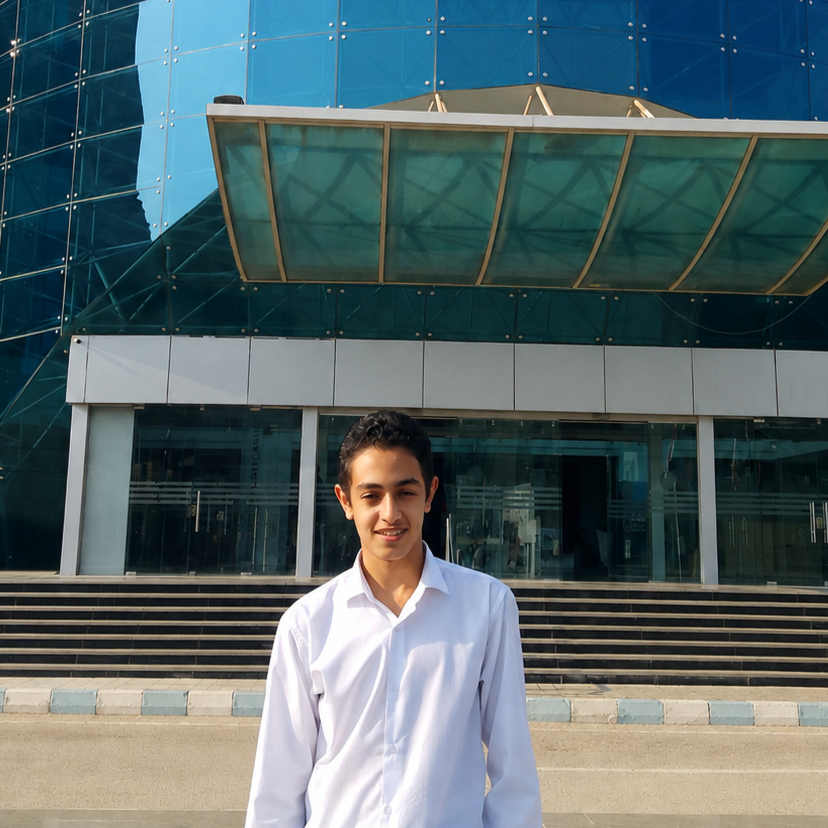
Building the platform and working with data to turn agricultural information into useful insights.
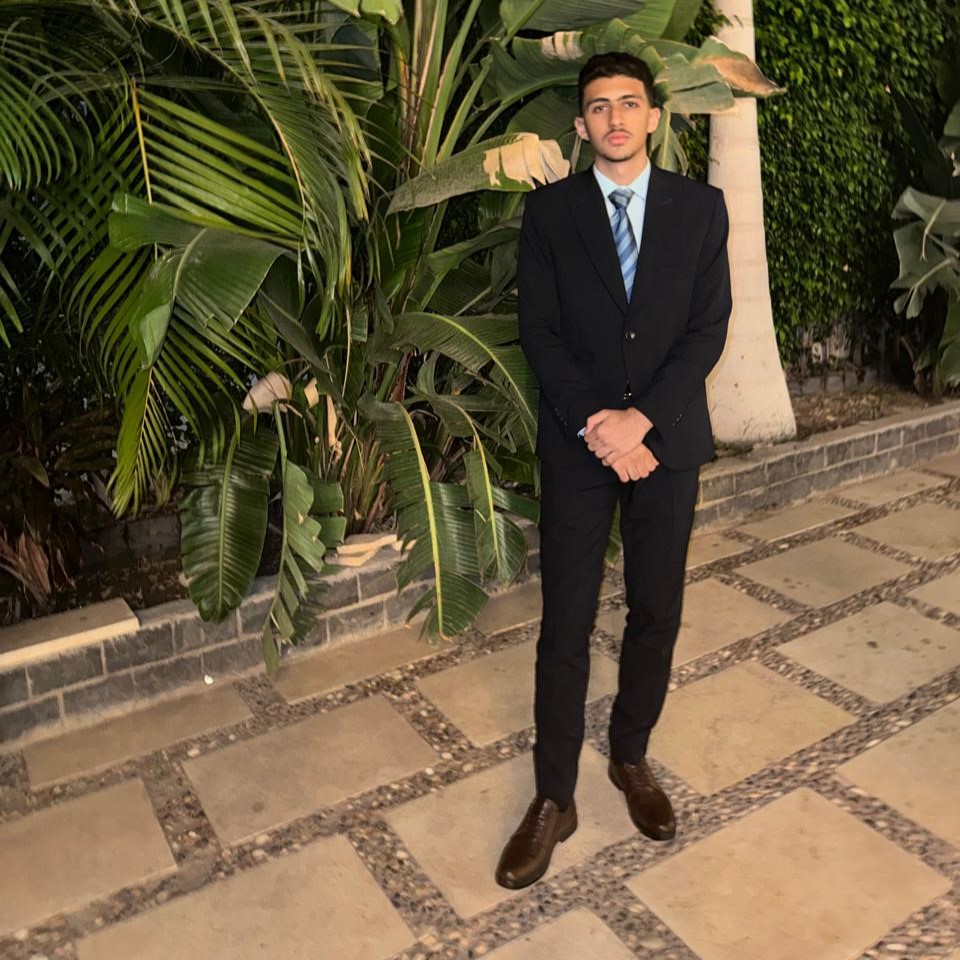
Researching agricultural challenges, reliable sources and project insights.

Working on the AI model concepts and intelligent analysis behind NILORA.
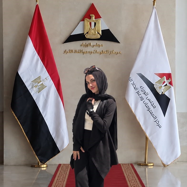
Shaping the visual identity, user experience and project presentation.
For project questions, collaboration, feedback or pilot discussions, reach out through one of our official channels.
Email the team